|
|
|
|
 News
News
(Correspondents Xu Gang and Wang Yiyi) The advanced forum on "Spatial Data Analytics for Social Sciences" was held in Wuhan University on December 14, 2019. The forum was sponsored by the School of Remote Sensing and Information Engineering, and Big Data Institute of Wuhan University. It's jointly organized by the Geocomputation Center for Social Sciences, State Key Laboratory of Information Engineering in Surveying, Mapping and Remote Sensing, and Collaborative Innovation Center of Geospatial Technology. More than 100 experts, scholars and students gathered in Wuhan University to discuss spatial data analytics for social sciences.
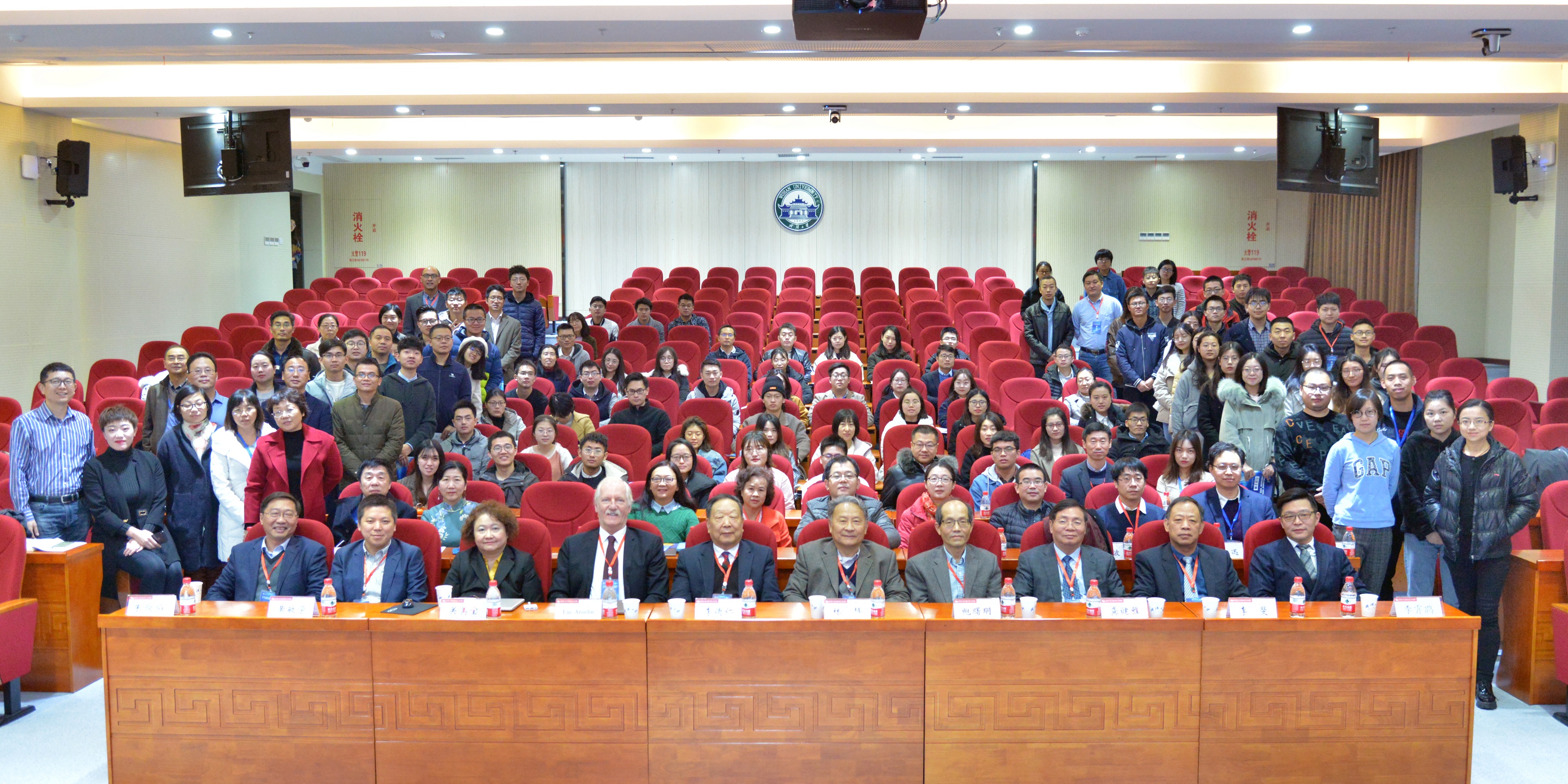
The following experts attended the opening ceremony: Professor Li Fei, vice president of Wuhan University, academician of Chinese Academy of Sciences, academician of Chinese Academy of engineering, Professor Li Deren of Wuhan University, academician of Chinese Academy of Sciences, Professor Gong Jianya, Dean of School of Remote Sensing and Information Engineering of Wuhan University, academician of American Academy of Sciences, academician of American Academy of Arts and Sciences, Professor Luc Anselin, University of Chicago, USA, academician of British Academy of Social Sciences, Professor Mei-Po Kwan, academician of International Eurasian Academy of Sciences, Professor Lin Hun of Jiangxi Normal University, Professor Bao Shuming, director of China Data Research Institute, and Prof. Li Xiaokun, vice president of Institute of Humanities and social sciences of Wuhan University.
Vice President Li Fei delivered a welcome speech on behalf of Wuhan University, academician Gong Jianya and Prof. Li Xiaokun delivered speeches on behalf of the sponsor.
The forum includes eight keynotes speaking:
Academician Li Deren made a keynote speaking entitled "night time light remote sensing and Luojia-1 satellite", which focused on the research results of Wuhan University team in the aspects of Syrian civil war impact assessment, urban development assessment of countries along the belt and road, as well as social and economic index estimation and urban expansion based on Luojia-1 satellite data Research on monitoring, ship lighting detection and humanitarian crisis assessment.
Academician Luc Anselin made a keynote speaking entitled "spatial data science in the social sciences: concepts, methods and challenges", which introduced the research of spatial thinking, spatial data characteristics, spatial data science, practice of spatial data science and challenges and future directions of Spatial Data Science in social sciences.
Professor Mei-Po Kwan made a keynote speaking entitled "Spatio-temporal analysis for social and health applications", introducing spatio-temporal data analysis and its social impact, health impact of regional and local policies, as well as the uncertainty of geographical situation. She pointed out that environmental health and residents' well-being is a complex research with the characteristics of natural science and social science, which needs the international vision and interdisciplinary collaboration.
In the keynote speaking delivered by Professor Lin Hui, the "modern map language in human geography research" was introduced. He pointed out that the geographical process model can realize the simulation of the future, and the humanities and social sciences can also try to establish similar models, and put social behavior and psychological experiments in the virtual environment to get closer to the real results.
Professor Bao Shuming made a keynote speaking entitled "new progress of spatial data research and teaching experiment platform", which showed the structure, content and case study of the platform in detail.
Professor Huang Minxue of Wuhan University made a keynote speaking entitled "Research on big data driven full scene intelligent marketing mode of consumer market", which pointed out that the marketing mode needs to change from traditional advertising marketing to precision marketing. Professor Chen Wei made a keynote speaking entitled "the application of digital technology in the study of bamboo slips". He introduced advanced infrared scanning technology to realize the recognition of the internal ink of bamboo slips, and used database technology to realize the management of the images, characters and documents of bamboo slips. Professor Hong Liang made a keynote speaking entitled "research and platform of equity and knowledge map for systematic financial risk", sharing the use of big data to find the financial risks hidden behind the financial equity network by building a financial knowledge map.
It is reported that during the advanced forum of "spatial data analysis in Social Sciences", a two-day training workshop on the "Recent Developments in Local Spatial Cluster Detection" was also held. Academician Luc anselin, Professor Li Xun of the University of Chicago and Professor Liu Lingbo of the school of Urban Design of Wuhan University were invited to give lectures for the students. More than 80 students from all over the country participated in the training workshop. (Photographer: Tang Xiaoyu, Editor: Qin Kun)
|
|