|
中国-欧洲空间局“龙计划5”合作项目“Geophysical
and atmospheric retrieval from SAR data stacks over natural
scenarios”(ID:
59332, 2020.7-2024.6);
中国-欧洲空间局“龙计划4”合作项目“Three-
and Four-Dimensional Topographic Measurement and Validation”(ID:
32278, 2016.7-2020.6);
日本宇航局ALOS国际合作RA6项目"Characterization
of landslide movements by exploiting both amplitude and
phase information of PALSAR-1/2 datasets."(PI No.:
3248, 2016-2019);
慕尼黑技术大学IGSSE国际合作项目“
4D City – Space-time Urban Infrastructure
Mapping by Multi-sensor Fusion and Visualization”(2011-2014)
,德方PI:Richard Bamler教授;
日本宇航局ALOS国际合作项目"Land-use changes and Land
availability caused by Inundation and human resettlement in the Three
Gorges Dam region of China."(2009-2010);
中国-欧洲空间局“龙计划1”合作项目第七主题“SAR数据在地形量测中的应用”(2004.1-2008.4)
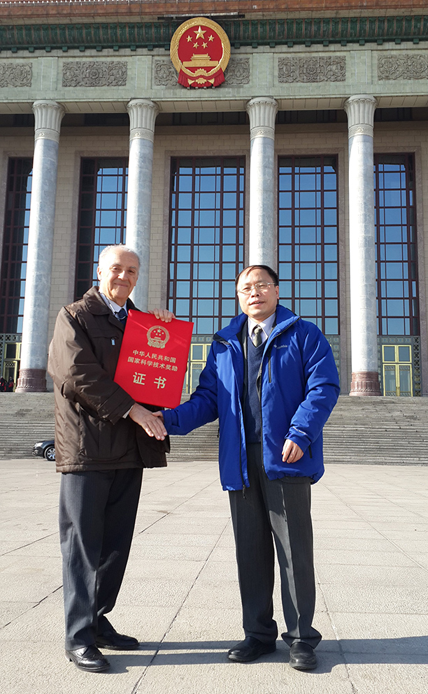
,欧方PI:Fabio Rocca教授(意大利米兰理工大学);
中国-欧洲空间局“龙计划2”合作项目“SAR数据在地形量测中的应用”主题(2008.4-2012.4)
,欧方PI:Fabio Rocca教授(意大利米兰理工大学);
中国-欧洲空间局“龙计划3”合作项目“SAR数据在地形量测中的应用”主题(2012.5-2015.4)
,欧方PI:Fabio Rocca教授(意大利米兰理工大学);
意大利宇航局COSMO SkyMed计划国际合作项目“DEM
retrival and subsidence monitoring of high priority areas in
China”(2009.01-2012.12);
TXS AO Project:Landslide measurement using PS-InSAR in the Three-Gorges Area (2009-2011);
国家自然科学基金委员对外交流与合作项目Fusion of high-resolution SAR and optical remote sensing data in urban areas(2009)。
|